


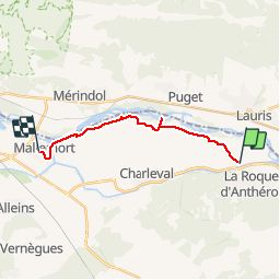

12.6 km | 17.9 km-effort

User


FREE GPS app for hiking
 SityTrail
IGN / Geographical institutes
SityTrail World
The world is yours!
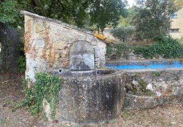
Trail On foot of 14 km to be discovered at Provence-Alpes-Côte d'Azur, Bouches-du-Rhône, La Roque-d'Anthéron. This trail is proposed by dominique dubroca.
Entre La Roque d'Antheron et Mallemort. trés facile


Walking
Walking
Walking
Walking
Walking
Walking
On foot
Walking
Walking
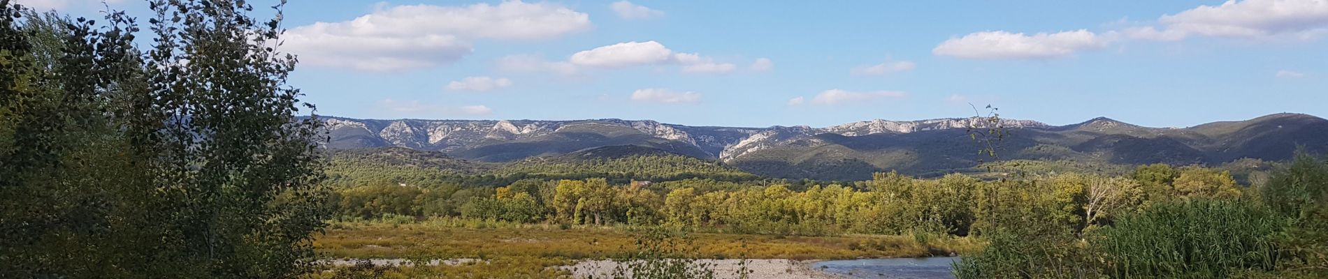
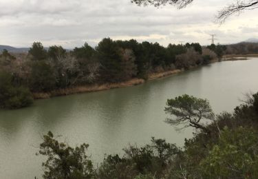
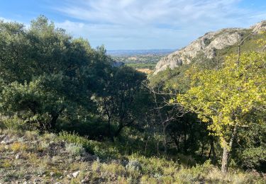
très beau chemin aménagé, le long de la Durance, entre La Roque d'Antheron et Mallemort.